


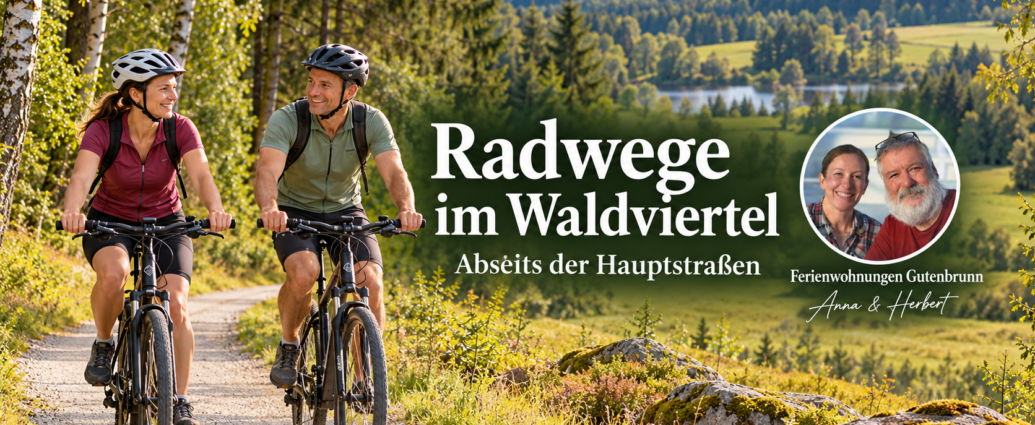
Why the Waldviertel is ideal for bike tours off the main roads
Who uses bike paths in the Waldviertel Those who venture off the main roads will discover one of the densest networks of side roads and farm roads in the country. The Waldviertel is a plateau in northwestern Lower Austria whose gentle hills, block-like granite formations, and vast forests clearly distinguish it from the Alpine regions. It is precisely this topography that makes the region ideal for leisurely cycling: long, flat stretches alternate with short, moderate climbs, and traffic on the small roads is minimal.
This Guide to Vacation Rentals Gutenbrunn summarizes which routes are worth exploring, how to plan a cycling vacation in the Waldviertel, and what to look for when it comes to pedal assistance, battery range, and safety.
The key appeal lies not in individual highlights, but in the abundance of quiet paths. On many side roads, you’ll encounter more tractors than cars per hour. If you avoid the main roads, you can often cycle for kilometers on end without any hustle and bustle, passing ponds, fields, and old railroad tracks.
The Waldviertel’s greatest strength for cyclists isn’t a single top-rated bike trail, but rather the combination of flat terrain, a dense network of side roads, and light traffic. Plan your route based on topography, not on the number of kilometers.
The Most Beautiful Bicycle Trails in the Waldviertel, Away from the Main Roads
The most scenic routes off the main roads run along rivers and on abandoned railroad tracks. Both types of routes feature gentle inclines, making them well-suited for less-trained cyclists and seniors riding e-bikes.
Thayatal Bike Trail and Kamptal: River bike trails with gentle inclines
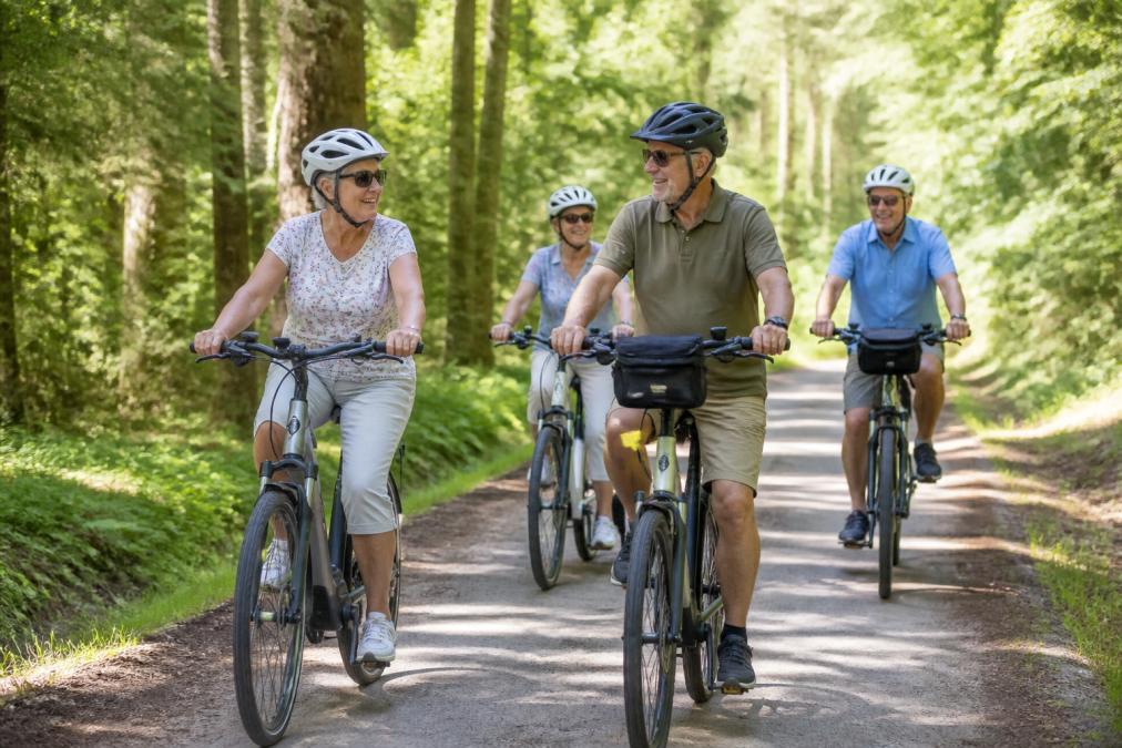
River bike paths follow the natural flow of the water and therefore avoid long climbs. The Thayatal Bike Trail follows the Thaya River through one of the region’s wildest river landscapes, past rock formations and dense riverside forests. The Kamptal Bike Trail runs further south and winds through rolling hills, passing small towns and places to stop for a break.
Both routes can be traveled in stages. If you can't cover the entire distance, you can simply get off at one of the train stations or bus stops. That's the most practical advantage of these routes.
Advantages: A gentle elevation profile, plenty of places to stop for refreshments and rest, and good signage.
Disadvantages: Very crowded on weekends with nice weather; some paved sections with no shade.
Waldviertel Railway Hiking Trail and Side Road Routes
The Waldviertel Railway Trail follows a disused railroad right-of-way and is therefore almost entirely flat. The old right-of-way passes by small train stations, viaducts, and embankments—a piece of industrial history that now belongs to cyclists and hikers.
It’s also worth taking the numbered side roads. These routes aren’t always marked, but they’re quiet. A good map or a navigation app with an elevation profile is a must here.
Advantages: Very little traffic, flat terrain, plenty of opportunities to enjoy nature.
Disadvantages: There's not much infrastructure along the way, and occasionally there's coarse gravel that calls for wider tires.
| Route | Character | Gradients | Best for |
|---|---|---|---|
| Thaya Valley Bike Trail | Along the river, scenic | gently | Leisure cyclists, families |
| Kamptal Bike Trail | Gently rolling hills, towns | moderate | Day Trips |
| Railway Hiking Trail | Old Railroad Right-of-Way | flat | Seniors, E-Bikes |
| Side-Street Routes | Freely planned | variable | Experienced, E-MTB |
E-bike rentals in the Waldviertel for day trips
For day trips, renting an e-bike in the Waldviertel is the most convenient option if you don’t bring your own bike. Rental bikes are available in several towns throughout the region, ranging from basic city e-bikes to off-road e-MTBs. If you’re only staying for a long weekend, this saves you the hassle of transporting and maintaining your own bike.
Book rental bikes early, especially during peak season and on holidays. Check in advance whether a helmet, lock, and luggage rack are included in the rental, and whether you can swap out the battery or get a second one. This extra is worth it for longer day trips.
A practical tip: Take the rental bike for a short ride on the first day. That way, you'll know right away if the seat height, handlebars, and assist level are right for you before you set out on a long ride.
When renting a bike, ask the rental shop about the actual elevation profile of your desired route—don't just ask about the distance in kilometers. Two routes of the same length can differ by as much as 200 meters in elevation, and that's exactly what determines how relaxing your day will be.
Cycling Vacation in the Waldviertel: Tips for Planning Your Trip and Route Profiles
A successful cycling vacation in the Waldviertel starts with realistic planning. If you’re familiar with the terrain, you can plan shorter stages and arrive feeling more relaxed. The following tips for a cycling vacation in the Waldviertel will help you prepare.
Assessing Topography and Climbs Correctly
The Waldviertel is a plateau, not a plain. That means you’ll rarely be riding on steep terrain, but the climb is steady. A 3 percent grade over five kilometers takes more out of you than a short, steep hill, because you hardly notice it and therefore tend to start off too fast.
Before every ride, check the route profile and factor in the inclines. With pedal assistance, moderate climbs are easy to handle, but the battery range decreases significantly with a lot of elevation gain. If you choose your route based on the profile rather than just the distance, you’re more likely to reach your destination reliably.
- Check the route's elevation profile in advance
- Plan your daily route based on your own fitness level, not on best-time lists
- Mark rest stops and places to take a break along the route
- Plan your return trip or an alternate route
- Check the weather forecast from the day before
Safety and Riding Technique Training for Seniors on E-Bikes
Safety on a pedelec is primarily a matter of practice, not age. A pedelec accelerates noticeably as you pedal, and it’s precisely this assistance that takes many new riders by surprise in the first few meters. Those coming from a traditional bicycle usually underestimate the bike’s weight and the thrust that kicks in as soon as the pedal assistance engages.
Why a refresher course is especially useful for people switching careers
A driving skills course specifically designed for older beginners is still a gap in the market in this region. Yet critical situations can be practiced in a targeted manner in just a few hours.
What Seniors Should Look for in Bicycles and Equipment
Particularly important for seniors: a low step-through frame (low-step or open-frame design) that doesn’t require stepping over a high frame, a clearly visible saddle, tires with good traction, and an upright riding position that relieves strain on the neck and wrists. A bike helmet is a must for every ride, even on short trips. If you’re unsure, start by choosing wide, paved paths and avoid gravel sections with steep inclines.
A common mistake when making the transition is to select a support level that's too high and then brake while going around a curve, instead of slowing down beforehand. The bike will keep moving forward even as you're already turning. Practice braking before the curve, not while you're in it.
The most common mistake made by new cyclists is to set the assist level too high and then brake while going around a curve, instead of slowing down beforehand. The bike keeps moving forward even as you’re already turning. Practice braking before the curve, not while you’re in it.
Ask local bike shops, cycling clubs, or guided tour organizers about introductory or refresher sessions.
Battery range, charging stations, and infrastructure along the route
Battery range is the limiting factor on any e-bike tour, and it depends on more than just the number of watt-hours. Uphills, headwinds, rider weight, tire pressure, and the selected assistance level all significantly affect battery consumption. A route that seems easily manageable on paper can become a tight squeeze in strong headwinds.
Plan to include charging stations and rest stops as fixed points along your route. Many inns and bike stations in the region offer charging options for e-bikes, often for a small fee or as a service for guests. Bring your charger with you, even if you don’t think you’ll need it.
The infrastructure also includes repair facilities, drinking water stations, and public transportation for emergencies. If you plan to return by train or bus, you’ll have more flexibility in case your battery runs out sooner than expected.
Accessible Infrastructure and Health Considerations for Recreational Cycling
Recreational cycling is more than just a means of transportation; it’s a gentle form of exercise. The pedal assistance reduces peak loads on the pedals and takes the strain off the knees, hips, and circulatory system, while still allowing for physical activity. For many people with limited mobility or recovering from surgery, this is the difference between being able to ride a bike and not being able to.
Accessible infrastructure determines whether a tour is truly accessible. This includes flat entry and exit points, sufficiently wide paths, benches for resting, and accessible restrooms at the end of each stage. Not every route meets these criteria, so it’s worth checking in advance.
If you have any health limitations, you should discuss the level of exertion with your doctor and make a point of keeping your first few hikes short. Listen to your body: Exhaustion, dizziness, or joint pain are signs that you should end the hike rather than push through it.
Emergency Management and Destinations for Day Trips
Emergency management begins with preparation, not with the emergency itself. In sparsely populated areas, cell phone reception isn’t available everywhere—that’s the most important point that many people underestimate. Anyone traveling off the main roads should therefore not assume they’ll be able to make a phone call when it really counts.
How to Use Emergency Stops and Emergency Apps Properly
In Austria, the Europe-wide emergency number 112 is the main number for emergency medical services. It is crucial that you be able to describe your location precisely in an emergency. There are two tried-and-true ways to do just that:
- Emergency Stops. These are numbered, clearly defined points in the terrain that are marked on maps and in apps. If you call in an emergency, simply give the rescue point number, and the dispatch center will know immediately where you are—even without a street name. Before your trip, check whether your planned route passes by any of these points, and make a note of the nearest numbers.
- Emergency apps. The Austrian Ministry of the Interior's official emergency app automatically sends your location to the dispatch center and works even when it's difficult to make a regular phone call. Download the app in advance, set it up, and test it at home.
Also, download an offline map of your route to your cell phone. An offline map will show you where you are and how far it is to the next town, even without a signal. Share your route with someone else and agree on a specific return time.
- Emergency numbers (112) and the address of the lodging saved on your cell phone
- Emergency App Installed and Set Up
- Noted the numbers of the next aid stations along the route
- Route shared with a second person
- Map available offline
- Bring a first-aid kit and drinking water
- Fixed return time agreed upon
Destinations for Day Trips
Natural areas and small towns are ideal destinations for day trips and can be easily combined with a bike ride. The Lake Edlesberg is a peaceful spot for a break by the water and is conveniently located for a half-day trip. If you’re traveling with children, choose short routes with plenty of places to stop and plan a specific endpoint. When choosing your destination, make sure there’s a place to stop for refreshments or a rest area with a bench at the endpoint—this makes the return trip more relaxed and provides a clear anchor for your daily schedule.
The best emergency plan is the one you go over before your trip: set up an emergency app, note down rescue points, download an offline map, and share your route. Five minutes of preparation can save you from having to improvise in an emergency.
Conclusion: Explore the Waldviertel at a leisurely pace on an e-bike
The peaceful trails of the Waldviertel reward those who plan ahead. If you check the terrain, battery range, and rest stops in advance, you’ll discover a region that offers exactly what many people are looking for: exercise without the hustle and bustle, and nature without the crowds.
The accessible vacation apartments offered by Ferienwohnungen Gutenbrunn, located in a quiet area near Gutenbrunn, are an ideal starting point for such tours. Anna and Herbert personally take care of their guests; the four apartments are wheelchair accessible equipped, and Dogs are welcome. From here, you can head straight out onto the surrounding side trails and reach destinations such as the Lake Edlesberg without a long drive.
Plan your next bike tour using Ferienwohnungen Gutenbrunn as your base, and book directly with the hosts—no need to go through a booking platform.
Frequently Asked Questions
Which bike paths in the Waldviertel have particularly little traffic?
The Thayatal Bike Trail, the Kamptal Bike Trail, and the Waldviertel Railway Hiking Trail are particularly low-traffic. These routes run mainly along side roads, forest trails, and former railroad rights-of-way. The side paths around Gutenbrunn and Lake Edlesberg are also ideal for seniors and families who want to bike away from the main roads. Careful trip planning with a route profile helps you better assess inclines and traffic volume.
Are the side trails in the Waldviertel suitable for e-bikes?
Yes, most of the side trails in the Waldviertel are well-suited for e-bikes and pedelecs. Many routes run along paved forest and farm roads with moderate inclines. The pedal assistance makes climbs noticeably easier. Make sure your battery is fully charged and plan for charging stations along the route. The hilly sections around Gutenbrunn and the Thaya Valley are particularly well-suited for e-MTB tours.
Are there any family-friendly bike routes away from the main roads?
Yes, the Thayatal Bike Trail and the Kamptal Bike Trail are family-friendly and run mostly away from main roads. Both feature gentle inclines, short stages, and attractions for children. The Waldviertel Railway Hiking Trail is also well-suited for families, with flat sections. Bicycles and e-bikes can be rented on site, so even less experienced cyclists can enjoy the tours.
What is the best time of year for cycling in the Waldviertel?
The best time for cycling in the Waldviertel is from May through October. During this period, temperatures are mild, nature is in full bloom, and the bike paths are in good condition. Early summer and early fall offer particularly pleasant conditions for leisurely cycling and day trips. In the height of summer, it’s best to set out early in the morning to avoid the midday heat.


Comments are closed, but trackbacks and pingbacks are open.