



Following in the footsteps of the lumberjacks through the Weinsberger Forest, we take our readers on an informative tour of the forest.
The Forest Railway Gutenbrunn complements these stops with historical insights.
There, the history of woodworking comes to life—and the Gutenbrunn Forest Railway also serves as a reminder of that era.
Anyone driving from Gutenbrunn to the Weinsbergerwald today will experience a peaceful natural setting.
The Gutenbrunn Forest Railway adds to the tranquility of this ride.
The Gutenbrunn Forest Trail connects forest paths, ponds, forest meadows, and long stretches far from larger settlements.
About a hundred years ago, this landscape was the site of an extraordinary industrial operation.
Steam locomotives transported wood from the forest to the grain mills in Gutenbrunn.
Hundreds of people found work there.
Today, the Gutenbrunn Forest Railway route brings part of this history to life as a mountain bike loop. It offers insights into the region and provides an opportunity for active exploration.
The starting point of the loop trail is the church square in Gutenbrunn, where the route begins. From there, the route winds through woods and fields, offering further views of the region.
It leads through Hansl pond, Berglucke, Weinsbergwiese, Saggraben, Spitzwiese, and Stifterteich. It then returns to Gutenbrunn. The route combines scenic beauty with historical points of interest. It is suitable for experienced mountain bikers as well as interested visitors.
It’s important to understand the context: This is not a museum railway on which trains run. Nor is the modern loop a fully reconstructed historic railroad route. It is an official mountain bike trail that runs largely on or along the tracks of the former Körnerwerke forest railway and connects other forest, gravel, and road sections.
Gutenbrunn Forest Railway – An Overview of the Route
- Tour Type: Mountain Bike Loop Tour
- Start and finish: Gutenbrunn Church Square
- Length: 18.65 kilometers
- Travel time: about 1 hour and 50 minutes
- Ascent: 325 meters in elevation
- Descent: 325 meters in elevation
- Lowest point: 773 meters
- Highest point: 978 meters
- Difficulty: medium
- Fitness level: 3 out of 6
- Experience Rating: 3 out of 6
- Landscape Value: 4 out of 6
- Terrain: mostly forest and gravel trails, with short paved sections
- Route: Gutenbrunn – Hanslteich – Berglucke – Weinsbergwiese – Saggraben – Spitzwiese – Stifterteich – Gutenbrunn
- GPX file: available at the end of the post
The current official hiking page of Lower Austria Tourism was last updated on August 3, 2026. The GPX file we have provided is identical to the one available for download there. A technical calculation of the 743 track points yields approximately 18.63 kilometers, thus confirming the published, rounded distance of 18.65 kilometers.
What was the Gutenbrunn Forest Railway?
Gutenbrunn has long been closely associated with logging and wood processing. As early as the 18th century, Josef Edler of Nuremberg had existing log flumes expanded. Firewood was transported along waterways toward the Danube to supply, among other places, the growing city of Vienna.
A second major economic boom began in the early 20th century. The Körnerwerke operated a large sawmill on the outskirts of Gutenbrunn that was state-of-the-art for its time. The official local history records hundreds of employees and a forest railway approximately 20 kilometers long for transporting timber. Even today, railroad embankments and the remains of bridges in the forest serve as reminders of this era.
The academic paper „Holzstadt Gutenbrunn and Körnerwerke Vereinigte Holz-, Bau- und Industrie AG, 1919–1933“ describes the company’s great economic and social significance. During its heyday in the 1920s, up to 500 people worked there. For a small town in the Waldviertel region, this was an enormous change.
Forest Railway and Industrial Railway—two terms that should be distinguished
Historical accounts mention both the forest railway in the Weinsberg Forest and the Gutenbrunn–Martinsberg industrial railway. They were connected to each other but served different purposes.
The forest railway opened up the Weinsbergerwald and transported logs and other timber to the sawmill in Gutenbrunn. Regional records date its permanent expansion to the early 1920s. It was built as a narrow-gauge railway and ran through the forest area over embankments, small bridges, and evenly laid tracks.
The industrial railroad connected the sawmill in Gutenbrunn with the Martinsberg-Gutenbrunn train station. This connection allowed timber and processed products to be transported onward to the mainline railroad. The industrial railroad operated in the 1920s and early 1930s. After the Körnerwerke mills were shut down, the narrow-gauge railroads also lost their purpose; the tracks and facilities were later removed.
No historic train runs here anymore. What remains visible are mainly traces of the terrain: cuttings, embankments, bridge abutments, and paths whose straight, even course hint at the former railroad.
The Grain Mills and Life in the Town
An industrial facility employing up to 500 people fundamentally transformed Gutenbrunn. People came from various regions to work at the sawmill, on the railroad, in the forest, or in related trades. It wasn’t just logs that were moved. Sawn lumber, firewood, and logs prepared for technical purposes also had to be transported, sorted, and loaded.
The work was physically demanding and hardly comparable to today’s safety standards. Logging, loading, maneuvering, and sawmill work required strength, experience, and well-coordinated procedures. The weather and the season also played a role in shaping daily life.
Anyone who rides the Waldbahn route today on a modern mountain bike or e-mountain bike experiences the same landscape under completely different conditions. It is precisely this difference that makes the tour historically interesting: Today’s recreational trail runs through what was once a work site.
The Trucker House as an Introduction to History
Before the bike tour, we recommend visiting the museum at the Trucker House. There, the history of the Weinsbergerwald is brought to life through documents, images, and eyewitness accounts. The presentation is not limited to the nobility and business leaders, but also includes the lives of ordinary people, such as lumberjacks and glassmakers.
The „Search for Traces in the Weinsbergerwald“ also begins at the Truckerhaus. Fifty-four sites and objects have been documented and marked. These include railroad embankments and other remnants of the forest railway. The sites can be reached via existing hiking and biking trails; they do not form a single, continuous forest railway loop.
According to the latest information from the municipality, the museum is open daily year-round from 8 a.m. to 6 p.m. for self-guided tours. Since opening hours are subject to change, you should check the official website again before your visit.
Route of the Waldbahn Loop
Start at Gutenbrunn Church Square
The official mountain bike route begins and ends at Kirchenplatz. A short access path leads from the Gutenbrunn vacation rentals to the starting point. This access path is shown as a dashed line on our GPS map and is not included in the official distance of 18.65 kilometers.
Before you set off, it's a good idea to do a quick technical check:
- Do the front and rear brakes work reliably?
- Are the tires and tire pressure suitable for gravel roads?
- Is the chain lubricated?
- Does the helmet fit properly?
- Is the GPX file saved offline?
- Do you have water, a rain jacket, and a repair kit with you?
You should ride at a leisurely pace for the first few minutes. The loop reaches an elevation of nearly 1,000 meters above sea level. Even in summer, temperatures and weather conditions in the Weinsbergerwald can change rapidly.
First stop: Hanslteich
From the town center, the route leads to Hanslteich. The pond is closely linked to the region’s early history of timber harvesting. Before railroads took over transportation, log ponds and waterways played an important role. Stored water was used to move felled timber in sections.
Today, Hanslteich is primarily a peaceful spot in the countryside. For mountain bikers, it’s a great place to make a quick first stop. A long break isn’t usually necessary at the start of the tour; however, it’s a good idea to check the map, the weather, and how you’re feeling while riding.
Toward Berglucke
From Hanslteich, the trail leads deeper into the Weinsbergerwald. The name “Berglucke” also recalls the timber floating operations of the past. In this area, human interventions in the landscape and the history of timber transport are closely intertwined.
On today’s mountain bike route, not every forest trail is automatically a former railroad embankment. Typical railroad right-of-ways can often be recognized by their steady gradients, long, sweeping curves, man-made cuts, or embankments. However, these features should not tempt you to stray from marked trails. Historical trails may pass through private or forested areas that are not open to the public.
Weinsbergwiese and the elevation of the forested area
The Weinsbergwiese is located in the western part of the loop. The surrounding area clearly illustrates the elevation of the Weinsbergerwald. The official tour reaches a highest point of 978 meters.
Despite the manageable total distance, the climb requires a good level of basic fitness. An e-mountain bike makes the elevation gain easier, but it is no substitute for riding technique or range planning. Range can decrease significantly in low temperatures, when using a high-assist mode, or with older batteries.
At Weinsbergwiese, you should assess whether your time and energy levels are in line with the route so far. If you’re already very exhausted, you shouldn’t simply take a shortcut on unfamiliar forest trails; instead, stick to the official route and, if necessary, head back at a controlled pace.
Saggraben and the northern section
Saggraben makes up the northern section of the loop trail. The municipality describes the route up to the Saggraben intersection as largely following the former forest railway line of the Körnerwerke. This is followed by a paved section, after which the trail returns to gravel paths.
Especially in the northern forested area, forestry operations, timber transport, or weather-related damage may occur. It is essential to observe all barriers and signs. Forestry machinery has large blind spots, requires a lot of space, and can be dangerous even when traveling slowly.
Back via Spitzwiese and Stifterteich
After Saggraben, the route continues via Spitzwiese toward Stifterteich. The mix of forest trails, meadows, and bodies of water is what makes this section so scenic.
The Stifterteich is a good spot for one last extended break. After that, the route leads back to Gutenbrunn. Despite being close to the finish, you shouldn’t let your concentration slip: After nearly two hours of riding, the risk of minor riding errors increases, especially on loose gravel or in wet conditions.
The municipality describes the return route as a gravel path along the pond landscape. The exact current route is always determined by the signage and the official GPX file.
Estimate Travel Time Accurately
The official travel time is approximately 1 hour and 50 minutes. This estimate is based on a brisk pace and does not include extended sightseeing stops.
Including photo stops, a break at the ponds, and a visit to the Truckerhaus, you should plan on spending about three to four hours in total. Less experienced drivers may need more time. You’ll need to drive more slowly if the ground is wet, there’s oncoming traffic, or forestry work is underway.
This time estimate should not be applied to a hike. Anyone covering 18.65 kilometers on foot will take significantly longer. Furthermore, this route is officially described as a mountain bike trail and is not designated as a historic hiking trail.
Who is this tour for?
The „moderate“ difficulty level and fitness requirement of 3 out of 6 are suitable for people who cycle regularly and can brake, steer, and start off safely on gravel paths.
This tour is suitable for:
- Experienced recreational mountain bikers
- E-mountain bikers with safe riding techniques
- Cyclists interested in history
- Guests who are physically fit enough to handle a 325-meter elevation gain
- Teens with relevant experience and guidance
It is less suitable for inexperienced cyclists, small children, city bikes with narrow tires, or people who feel unsteady on loose surfaces.
E-mountain bike or regular mountain bike?
Both options are possible. On a regular mountain bike, the route is a good workout. An e-mountain bike makes the climbs easier, but it increases the bike’s weight and can result in longer braking distances on descents.
The battery should be sufficiently charged before setting out. Although the route isn't exceptionally long at 18.65 kilometers, elevation gain, temperature, assist level, and rider weight all affect battery consumption.
Safety in the Weinsbergerwald
Please be especially considerate on forest roads. Please note:
- Use only approved and marked trails
- Comply with driving bans and time restrictions
- Wear a helmet
- Adjust your speed based on visibility and road surface conditions
- Be prepared to brake before blind curves
- Give hikers and forestry vehicles plenty of space
- Do not chase or disturb wild animals
- Avoid driving at dusk and at night
- Don't leave any trash behind
- Do not drive into the woods during a storm warning or thunderstorm
After strong winds, branches or fallen trees may be lying on the course. If a section of the course is closed, do not attempt to bypass the closure on your own.
Equipment Recommendations
For the Waldbahn route, we recommend:
- A mountain bike or e-mountain bike in perfect working order
- a well-fitting bicycle helmet
- Gloves and weather-appropriate clothing
- enough water and a small snack
- Rain jacket
- Replacement hose or repair kit
- Air Pump and Multitool
- Cell phone with a fully charged battery
- GPX file saved offline
- small first-aid kit
- Tick and Sun Protection
Cell phone reception may be limited in the woods. Let someone you trust know your planned route and approximate return time.
Is the route accessible?
No. The mountain bike route is not barrier-free. Gravel, inclines, forest trails, and potential uneven surfaces make this route unsuitable for use with a wheelchair or walker.
If you’d like to learn about the history of the Waldbahn without taking a bike tour, you can visit the museum in the Truckerhaus. Please check with the operator directly in advance for information on accessible entry.
Traveling with Children on the Waldbahn Route
This route is not a typical family bike ride. It may be suitable for teenagers if they can safely handle 18 kilometers, 325 meters of elevation gain, and gravel paths. It is not recommended for small children or bike trailers due to the terrain, inclines, and potential forest traffic.
A group hike should be planned around the slowest and least experienced family member. Don't wait until everyone is completely exhausted to start the return trip.
Best Time for the Tour
According to the current tour page, the route is generally listed as open year-round. In practice, however, snow, ice, wet conditions, forestry work, and daylight hours determine whether it is passable.
Dry days from late spring through fall are particularly pleasant. After long periods of rain, trails may be soggy. In midsummer, it’s best to set out early. In fall, you’ll need to take the earlier twilight into account.
Current notices and closures always take precedence over the GPX file.
Don't confuse the original route with today's tour
The historic forest railway was a work and transportation system with branches throughout the Weinsberg Forest. Today’s 18.65-kilometer loop trail was designed for mountain bikers. It follows sections of the historic railway right-of-way but also connects to other trails.
That’s why it would be misleading to describe the GPX route as an exact reconstruction of the entire former forest railway. Anyone interested in delving deeper into the history and specific sites will find more comprehensive information at the Truckerhaus, the Gutenbrunner Topothek, and in the book *Spurensuche*.

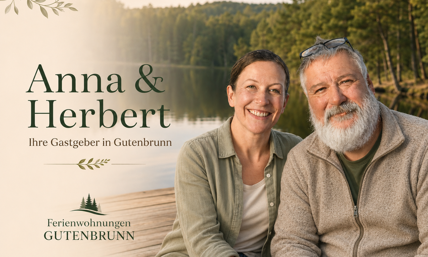
Staying at the Gutenbrunn Vacation Rentals
From our vacation rentals, you can reach the starting point at Kirchenplatz via a short path. After your ride, you can park your bike, relax, and wind down the day in peace.
The Waldbahn route can be easily combined with a visit to the Truckerhaus or a short historical walking tour of the town. Be sure to allow enough time for both activities.
You can check availability and book your stay directly here:


Comments are closed, but trackbacks and pingbacks are open.