


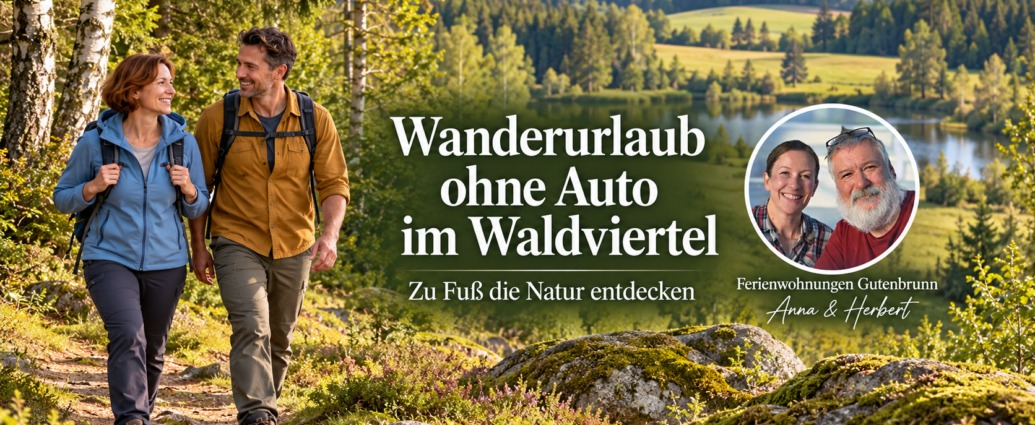
Hiking Vacation in the Waldviertel Without a Car: It's Possible
A hiking vacation without a car in the Waldviertel It's not only possible—it's actually the better option. Many people think you can only explore the region by car. That's not true. Public transportation, hiking trails, and careful planning make for a Hiking Vacation Without a Car in the Waldviertel Not only is it feasible, but it's also more relaxed and sustainable.
This guide shows you how to plan a hiking vacation without a car in the Waldviertel from the very beginning. From getting there to choosing hiking trails to logistics involving luggage and apps—we cover every practical hurdle that might otherwise hold you back.
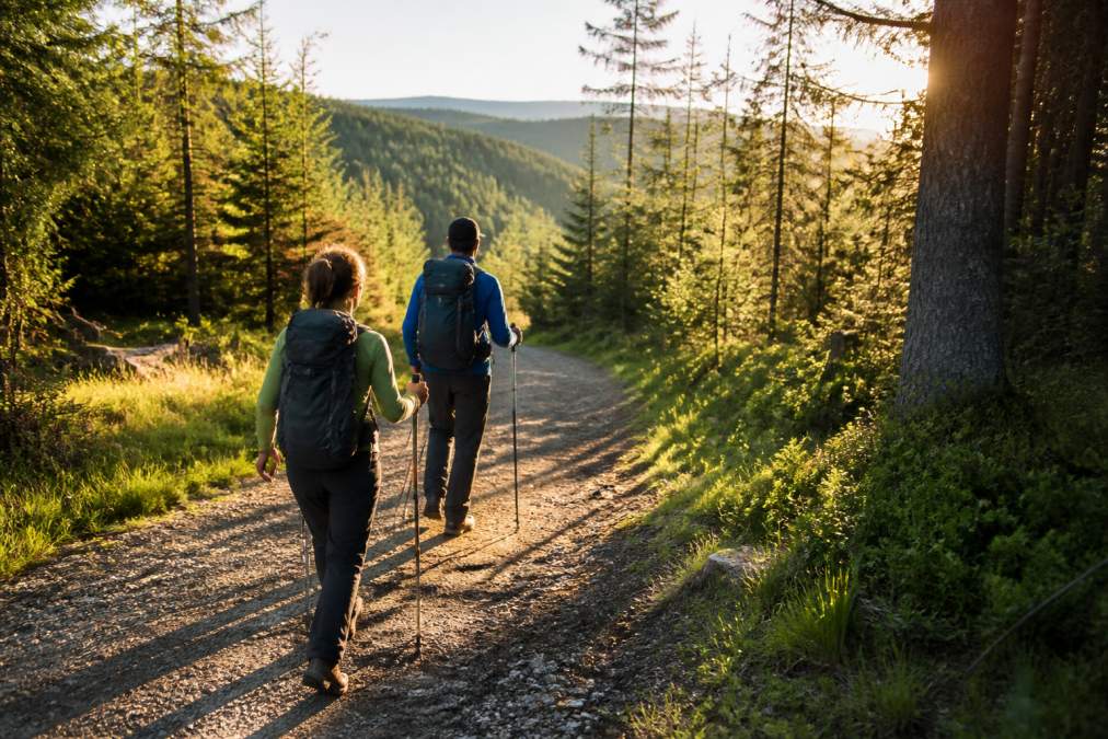
Plan Your Trip to the Waldviertel Using Public Transportation
Traveling without a car starts with a simple question: Where are you coming from? Most guests come from Vienna, Linz, or Salzburg. From there, there are several routes leading to the Waldviertel.
Traveling by Train
The train is the most reliable option. Austria's rail network connects the major cities directly to train stations in the Waldviertel. The trips take between two and four hours—enough time to settle in and gather your thoughts.
Major train stations for traveling to the Waldviertel include Krems an der Donau, Horn, and Zwettl. From there, you can reach smaller towns via connecting trains. Austrian Federal Railways provides information on schedules and transfer options. Many train stations are located right at the starting points of hiking trails—a major advantage over driving, which often drops you off at the edge of parking lots.
Book your train trip at least one week in advance. This way, you’ll often secure the best connections and save money with early-bird discounts. Make sure your luggage isn’t too heavy—you’ll have to carry it from the train station to your accommodations.
Many train stations in the Waldviertel have bike-rental stations. A bike significantly expands your range and often costs less than a car for the day.
Use bus service
Bus routes connect smaller towns that aren't directly served by the train. Bus rides are often cheaper than train rides, but they take longer. For trips under 50 kilometers, buses are often the better choice.
The Lower Austria Public Transportation Authority coordinates most of the bus routes in the region. With a day pass or weekly pass, you can ride as much as you want. This is convenient if you’re planning several days of hiking and want to switch between different starting points.
Bus trips require more patience than train trips. Schedules often aren't perfectly coordinated. Allow at least 30 minutes between your arrival and your next trip.
Combine hiking with a ride on the Waldviertelbahn
The Waldviertel Railway is a narrow-gauge railway that runs through the most scenic parts of the region. It connects small towns and hiking trailheads directly with one another.
The Waldviertelbahn operates seasonally—mainly from May through October (waldviertelbahn.at). There are more trains on weekends than on weekdays. Plan your hikes around the train schedules, not the other way around.
A typical day on the Waldviertelbahn looks like this: You take the train in the morning to a hiking trailhead, hike for 4–6 hours, and board the train again at your final destination. The train takes you back to your lodging. No car needed. No need to look for parking. No drive home after a long hike.
The Waldviertelbahn isn't just a mode of transportation—it's an experience in itself. The ride through the countryside is often just as beautiful as a hike.
The Best Hiking Trails You Can Reach Without a Car
Not all hiking trails are the same distance from train stations. Some start right at the station. Others require a 30-minute hike to the starting point.
Circular hiking trails that start at the train station
Circular hiking trails are ideal for car-free travelers. You start at the train station, hike in a loop, and return to the same spot. No logistics required. No need to transfer luggage. No need to worry about the return trip.
Popular loop hiking trails are often accessible from the Horn train station. The trail winds through forests, along streams, and across open meadows. The landscape is constantly changing.
Other loop trails often start right at train stations. These routes are shorter—ideal for days when you don’t have a lot of energy. Some loop trails have places to stop for a bite to eat along the way. That means you can have lunch at a mountain hut and take a break.
You can find information about circular hiking trails at local tourism offices. They provide free hiking maps. These maps show not only the route but also bus stops, places to stop for a bite to eat, and water sources.
Plan multi-day trips
Multi-day hikes require more planning, but offer a more immersive experience of nature. You'll hike for several days in a row and spend the night in different places.
A long-distance hiking trail in the Waldviertel can take several days to complete. Every day brings a new route. Every night, a new place to stay. Your luggage follows you—either through a luggage transfer service or by packing light and carrying everything yourself.
Popular long-distance hiking trails have well-established routes with marked paths and reliable lodging options. Some tourism associations also offer package tours in which lodging and luggage transport are already arranged.
The advantage: You can focus entirely on hiking. Your luggage will be waiting for you the next morning.
Accessible Hikes in the Waldviertel Region
Accessible hiking trails aren't just important for people in wheelchairs. Older adults, parents with strollers, and people with limited mobility also benefit from well-maintained, level trails.
The Waldviertel has several accessible hiking trails. These trails are paved or have a solid surface. They do not have any steep inclines.
For guests without cars, it’s important to note that these accessible trails must also be reachable by public transportation. That’s not always the case. Check in advance to see if the train station or bus stop is close enough to the trailhead.
Some train stations have elevators and accessible restrooms. This makes getting there much easier.
Hiking Vacations with Your Dog Without a Car: Practical Tips
Dogs Dogs are welcome in the Waldviertel. Many hiking trails are dog-friendly. However, there are a few things to keep in mind.
Dogs need water and breaks. On a 6-hour hike, you’ll need at least two water breaks. Many hiking trails pass by streams—which are perfect for drinking. Some rest stops also have water bowls for dogs.
Leashes are required in some areas. Nature reserves often have rules. Check with the local municipality or the tourism association beforehand.
Traveling with your dog without a car means you'll need patience during the trip. Dogs don't always enjoy long train rides. Make sure your dog gets some exercise during the trip. Get off the train when it stops. Let your dog drink some water.
For vacation rentals Gutenbrunn Dogs are welcome. That means you can come back after a hike, and your dog will have a safe place to rest.
Dogs can quickly overheat in hot weather. Go for a walk in the early morning or late afternoon, not in the midday heat.
Luggage, Apps, and Logistics: Overcoming Common Challenges
The biggest concern for many car-free hikers isn’t the trip itself, but the logistics afterward: How do I get from the train station to the trailhead? How do I manage my luggage over several days? How do I stay on track when schedules change? These practical hurdles often determine whether a car-free hiking vacation is a success or a frustrating experience.
Planning the Last Mile: From the Train Station to the Hiking Trailhead
The most challenging part is the arrival. You get off the train—and now what? The starting point of the hike is often not right at the train station. Sometimes it’s 500 meters away, sometimes 3 kilometers.
Mobility apps like Google Maps or Apple Maps can help here. They show not only walking routes but also bus routes and bike paths. Download the offline map of the Waldviertel before you arrive. That way, you can still use the navigation even without cell service.
A practical workflow:
- Before departure: Open Google Maps and search for your train station and the starting point of your hike. Note the walking time and any bus stops along the way.
- Upon arrival: Open the offline map and follow the route on foot or by bus.
- Alternative: Many train stations have bike-sharing stations. You can cover 3–5 kilometers by bike in 15 minutes.
Some train stations have information desks that provide free hiking maps with bus stops marked on them. These maps are available offline and show the last mile more accurately than digital apps.
Luggage Transfer Services for Multi-Day Trips
On multi-day hikes, luggage transfer is the key to comfort. Your backpack is transported from one lodging to the next—you hike with just a 5–8-kilogram daypack.
How it works:
- Pack your bags the night before and drop them off by 8:00 a.m.
- The service will pick it up and deliver it to your next accommodation by 5:00 p.m.
- You'll be hiking all day with a light pack.
- The next morning, you repeat the process.
Important: Not all accommodations partner with luggage transfer services. When booking, ask if the service is available. Some tourism associations coordinate luggage transport for established long-distance hiking trails.
Alternative: If you pack light (just a change of clothes, toiletries, and water), you can carry your own luggage. That way, you won't be tied to pickup times.
Schedule Apps: Your Digital Backbone
If you don't have a car, you'll need a reliable plan. Here are the most important apps:
ÖBB Tickets (Austrian Federal Railways)
- Shows all train routes in Austria
- Real-time delays and transfer options
- Tickets can be purchased directly in the app
- Works offline if you save the route beforehand
- Download for free
Lower Austria Public Transportation Authority App
- Shows bus routes and schedules in the region
- Real-time information on delays
- Combines train and bus trips in a single search
- Download for free
Google Maps (Offline Mode)
- Save the Waldviertel region before you leave
- Shows walking routes, bus stops, and bike stations
- Navigation works without an Internet connection
- Free
Helpful tip: Save your most important routes (e.g., „Horn Train Station → Hardegg Hiking Trailhead“) as favorites. That way, you won’t have to search for them every time.
Real-Time Planning for Delays
Trains are delayed. Buses sometimes leave early. What then?
The ÖBB app shows real-time delays. If your train is 15 minutes late, you'll see it right away. You can then decide: Should I wait for the next bus, or should I walk to the next station?
Some train stations have staffed information desks. There, you can ask if your connecting bus will wait for you. This is especially important if you have a tight connection.
Rule of thumb: Allow at least 30 minutes between your arrival and your next trip. This gives you time to account for delays and to get your bearings.
Offline Navigation and Hiking Maps
When you're hiking, you need a reliable map. Digital apps are convenient, but the battery doesn't recharge on its own.
Best solution: Combine digital and analog.
- Digital Map: Download the offline map of the hiking route (e.g., via Maps.me or Komoot). These apps show elevation profiles, difficulty levels, and places to stop for a bite to eat.
- Paper map: Buy a printed hiking map at the tourist office or at the train station. It costs 5–10 euros and always works—even when the battery is dead.
Many hikers use Komoot, a specialized hiking app. It not only shows the route, but also water sources, shelters, and difficulty levels. You can save routes and use them offline.
Charge your cell phone every night. If you're staying in a vacation rental, use the outlet. If you're staying in a mountain cabin, ask in advance if there's a way to charge your phone.
Packing Your Bags Properly for Hikes Without a Car
Without a car, you'll have to carry your own luggage—at least from the train station to your lodging. That means packing light isn't optional—it's a necessity.
Rule of thumb: Your backpack shouldn't weigh more than 10 kilograms if you have to carry it every day. On multi-day hikes with luggage transport, you can carry more weight.
What you really need:
- 3–4 spare shirts (quick-drying)
- 1 pair of hiking pants, 1 pair of casual pants
- Underwear for 3–4 days (you'll wash it while you're traveling)
- 1 fleece jacket, 1 rain jacket
- Hiking boots (pre-owned, not new)
- Toiletries (travel size)
- Sun Protection and Insect Protection
- 1-2-liter water bottle (refill on the go)
What you DON'T need:
- Several pairs of shoes
- Full-size cosmetic products
- Heavy books or electronics
- More than 3 pairs of socks
Pack your backpack so that the heavy items (water, shoes) are at the bottom and the light items (clothes) are at the top. This distributes the weight more evenly.
Don't forget: Your backpack needs to be suitable for the walk from the train station to your lodging. A 20-kilogram backpack is uncomfortable to carry after a 2-hour train ride.
Choosing the Right Accommodation as a Base
Your lodging is the centerpiece of a car-free hiking vacation. It should be centrally located and easy to reach.
The ideal accommodation is one that's a 10- to 15-minute walk from a train station or bus stop. That way, you won't need a taxi—you can just walk.
The lodging should also be a good starting point for hikes. Some lodgings are located right at the trailheads. Others require a short detour. That’s okay, as long as the walk doesn’t take longer than 30 minutes.
Vacation rentals offer more independence than hotels. You can cook for yourself. After a hike, you can prepare a meal right away without having to wait for a restaurant.
Good vacation rentals also have washing machines. After a hike, you can wash your clothes.
At Ferienwohnungen Gutenbrunn, you’ll receive personalized attention from your hosts, Anna and Herbert. That means you’ll have someone who knows the area well. Questions about the region, hiking trails, or transportation options will be answered quickly.
Families with children, who are looking for a base for several days of hiking, and guests who appreciate personalized attention.
Conclusion: A Sustainable Hiking Vacation Without a Car
A Hiking Vacation Without a Car in the Waldviertel It's not only possible—it's often better than driving. You'll save yourself stress, money, and emissions. You'll experience the scenery more fully because you're traveling more slowly.
Planning takes a little more time. But it's worth the effort. Public transportation is reliable. Hiking trails are well-marked. Accommodations are welcoming.
The key lies in three things: good preparation, the right accommodations and realistic expectations. Not every day will be perfect. Sometimes a train is delayed. Sometimes it rains. That's part of the hiking experience.
Frequently Asked Questions
How can I get to the Waldviertel and the hiking trails without a car?
If you’re traveling without a car, you can take the train and bus. The Austrian Federal Railways (ÖBB) will take you to regional train stations such as Zwettl or Litschau. From there, bus routes operated by the regional transit authority will take you to hiking trailheads. The Waldviertelbahn connects smaller towns and hiking regions directly. With apps like Google Maps or the ÖBB app, you can plan your route in real time and see your connections at a glance.
Which hiking trails in the Waldviertel region are accessible by public transportation?
Many circular hiking trails start right at train stations or bus stops. Multi-day hikes can be combined with luggage transfer services: You hike during the day, and your luggage is transported to your next lodging. Hiking maps from tourism associations clearly show transit stops and hiking trail networks.
Can I go hiking with my dog in the Waldviertel without a car?
Yes, many hiking trails are dog-friendly. The Waldviertel offers plenty of nature and quiet trails where dogs can run freely. Be aware of wildlife enclosures and nature reserves where dogs must be kept on a leash. Accommodation providers such as Ferienwohnungen Gutenbrunn allow Vacation with Your Dog and know the best walking routes in the area. Water and rest stops are important on longer hikes—be sure to plan breaks.
How does accessible hiking in the Waldviertel work without a car?
Accessible travel begins with wheelchair-accessible train stations and buses equipped with ramps or lifts. Many hiking trails in the Waldviertel are partially or completely barrier-free: flat nature trails, solid surfaces, accessible rest areas. Accommodation providers with accessible vacation rentals can help with route planning and are familiar with local options. Tourism associations offer information on hiking trails that are accessible and barrier-free.
Plan your next hiking vacation without a car, using Ferienwohnungen Gutenbrunn as your base. Our accessible apartments offer the perfect starting point for hikes in the Waldviertel region. Anna and Herbert will help you plan your trip and answer any questions you may have about the region. Book directly with us and enjoy a break in nature without the pressure of a tight schedule—with personalized service and an ideal location for your hikes.

Comments are closed, but trackbacks and pingbacks are open.